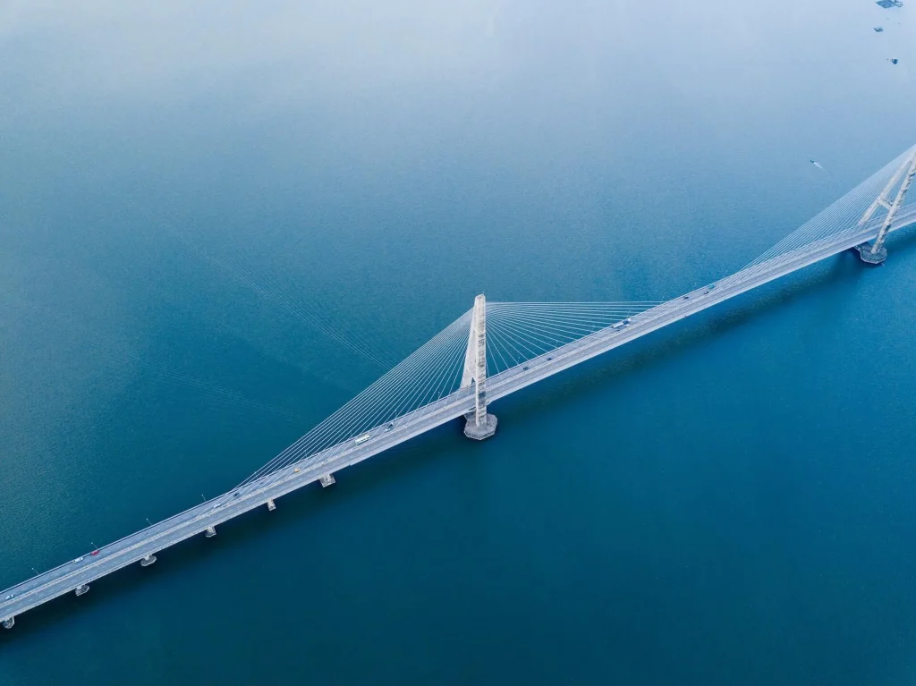
Families from Bataan could enjoy the cozy sights of Tagaytay while families from a house and lot in Cavite could enjoy the underrated beaches of Bataan because a new jaw-dropping project of the Marcos administration will soon come into the Filipino lives in order to further nurture it into a better one: an astonishing 32 – kilometer bridge in which they call “inter-island” crossing Manila Bay. Such a project will cut motor vehicle travel time from five hours to an impressive 20 to 30 minutes. People from Central Luzon Bataan homes and Southern Tagalog house and lot in Cavite will definitely benefit here. Still, all families all over the country are welcome to participate in such a grand, swift journey.
Under the Build Better More program of President Ferdinand Marcos Jr., based on the presented report of Manuel Bonoan, the Secretary of the Department of Public Works and Highways, also known as DPWH, Emil Sadain, the Public Works Senior Undersecretary of our country stated that they are already working very hard to research and plan in order to produce and complete a detailed engineering design, also technically known as DED, in order to make the Filipino dream of the Bataan-Cavite Interlink Bridge Project come true by the first quarter of 2023.
And the most astounding fact of them all? It will be built not only on land but mostly above water.
Drive Above Manila Bay
We all know about highways. And we all know how convenient they are when it comes to dealing with traffic. If there were space in Metro Manila, just imagine how light EDSA traffic would be if there were highways along with our trains. But, let us use, what millennials would say, one hundred percent of our brain: how about using the empty air space that is above water to connect two areas that are absolutely far stretched from one another?
This proposed highway will be built on top of the water, and not just any body of water but Manila Bay. Just imagine how fun it would be for you and your family: going to Las Casas Filipinas de Acuzar, a Philippine historic site by the beach from your house and lot in Cavite through, not an expressway, not the typical highway, but a road in the middle of the famous and exquisite Manila Bay? You can bet that your kids would not even sleep a wink during the duration of the ride.
Count On Its Science and Our Scientists
The inspection report of Secretary of the Department of Public Works and Highways Manuel Bonoan stated that they are making use of scientific surveys and research in order to make this work. It had been written that “Marine geophysical surveys and geotechnical investigations in evaluating underground conditions and site characterization over the waters of Manila Bay are ongoing with an overall accomplishment at 55 percent to date.”
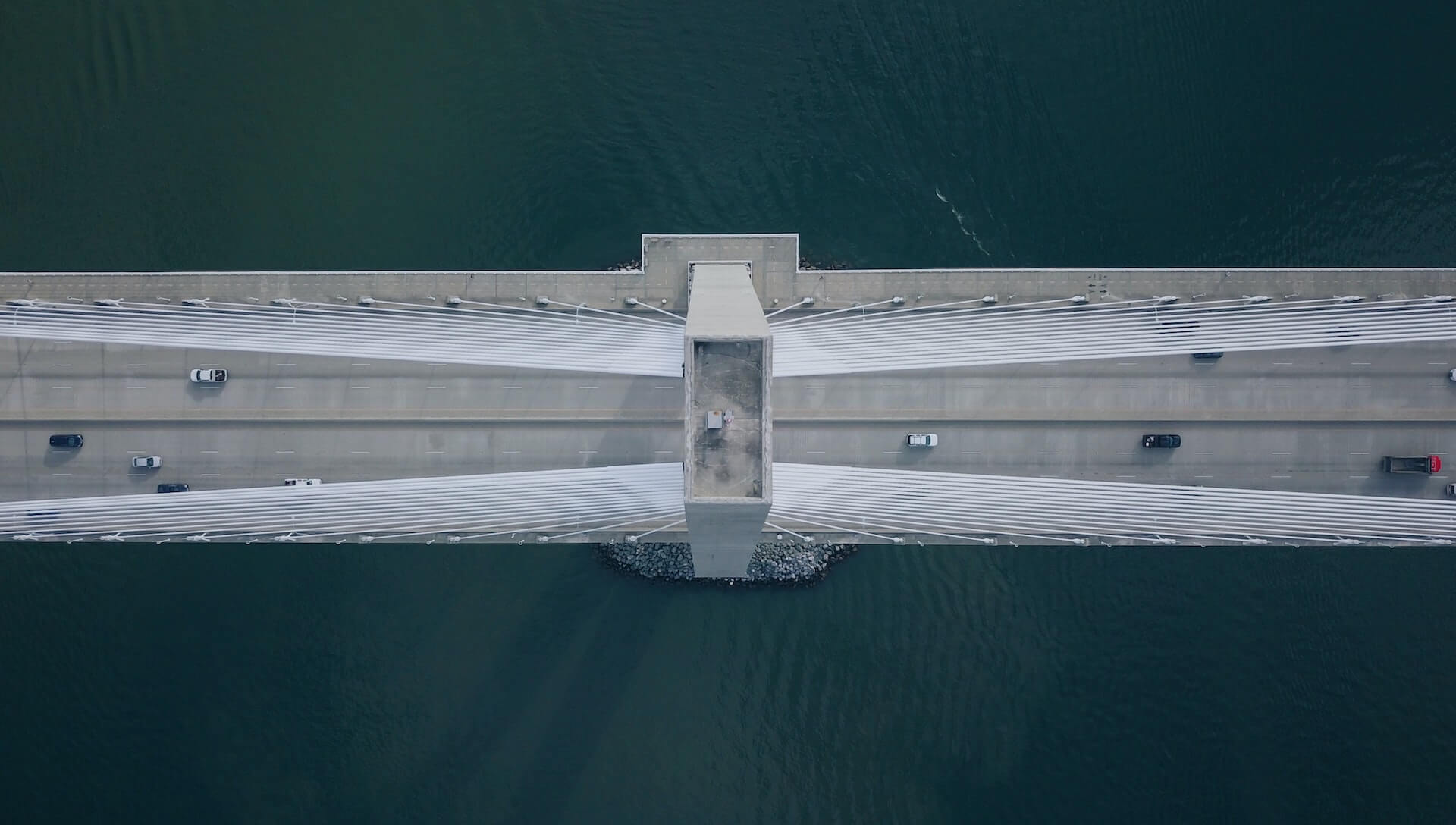
In other words, yes, this highway of two cable-stayed navigation bridges will go through the famous Manila Bay. Indeed, the Philippines had so much potential waiting to be tapped in all these years.
Secretary of the Department of Public Works and Highways Sadain said the geological aspects of the site have to be studied vigorously since the project is quite a tough nut to crack. Thus, intense research must commence in detail given the nature of the project before the commencement of bridge construction activities for said infrastructure flagship project, which the past administration actually started.
He added that the project would be completed during the reign of the Marcos government, hinting that the project would be done very soon.
The Answer to Metro Manila’s Traffic
We have all heard, if not experienced, the hellish traffic of Metro Manila. Do you think that a 3-hour trip from SM Megamall back to the South Luzon Expressway is hard enough? Think again. There are hundreds of Filipino commuters who have to wait hours for a bus (sometimes already full by the time it arrives) and undergo what you experience for a weekend getaway to Manila, every single day after long hours of hard work. The current administration has heard the cries of such hardship, thus this project.
Additionally, the Bataan-Cavite Interlink Bridge will ideally expand and spurt the country’s economic growth opportunities outside of the metropolis with investors now setting up industries leading to the route of promising new land and marine viaduct highway to be built between Regions 3, also known as Central Luzon, and Region 4A, the famous CALABARZON (Cavite, Laguna, Batangas, Rizal, and Quezon).
Spearheaded by the DPWH Unified Project Management Office-Roads Management Cluster 2 (Multilateral), the project is being developed with funding from the Asian Development Bank (ADB) with the DED contract awarded to the joint venture of TY Lin International and the Republic of Korea’s Pyunghwa Engineering Consultants, working with Switzerland-based Renardet and the Philippines’ DCCD Engineering Corporation.
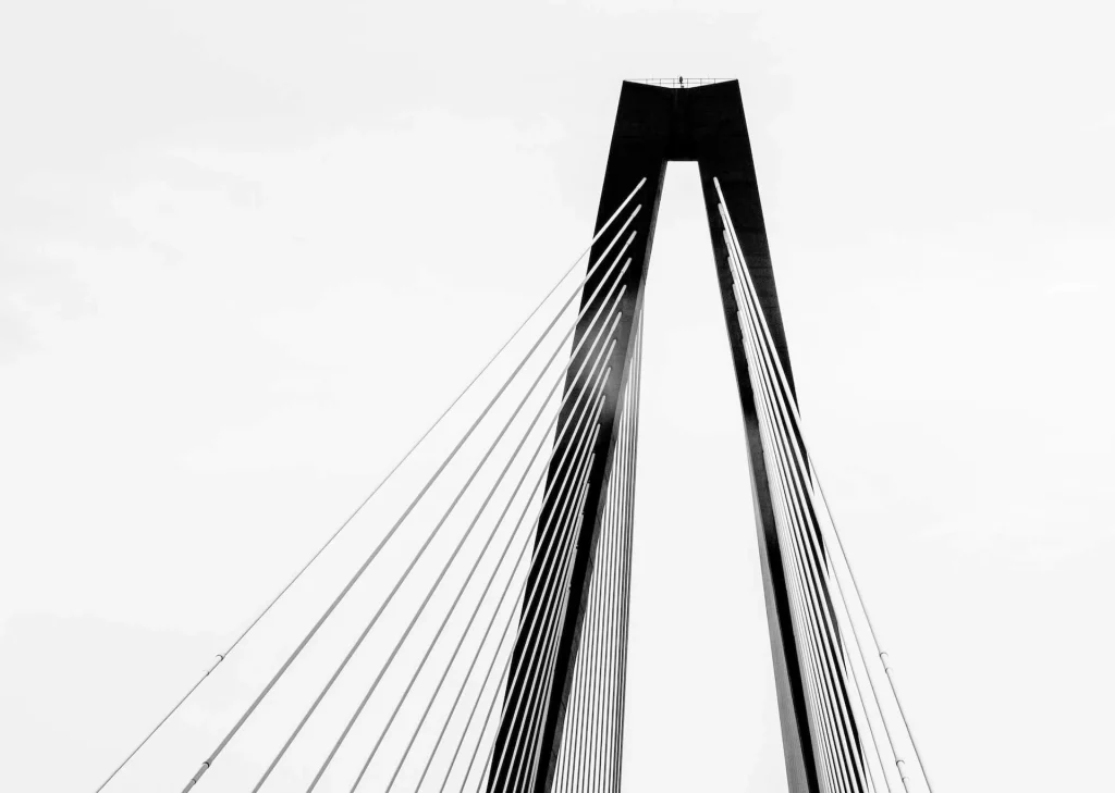
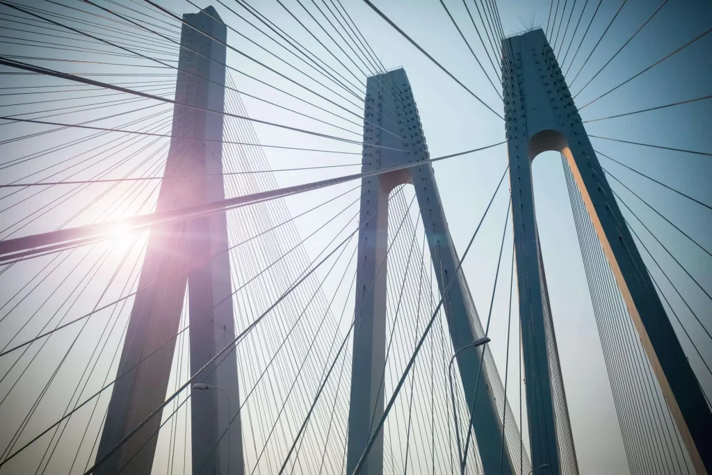
In the building of the bridge comes the construction of two navigation bridges. Cable-stayed, the two bridges (called North Channel Bridge and South Channel Bridge and measuring 400 meters and 900 meters, respectively) will be built on both sides of Corregidor Island. The Bataan Cavite Bridge design and structure will need to be high enough to let ships pass through as Manila Bay is one of the country’s major international shipping gateways.
Indeed, a lot of history has a lot to do with this project. Cavite was coined as the “History Capital of the Philippines” as well as the “Land of the Brave”; Bataan is the area of many of our country’s historic battles and events like Death March, Siege of Bataan, and the Fall of Bataan; and lastly, Corregidor, a defense port at the entrance of Manila Bay and Manila from the attacks of enemies in the water.
The alignment of the bridge will run across Manila Bay, specifically bounded by Cavite and Metro Manila on the east, Bulacan, and Pampanga on the north, and Bataan on the northwest.
According to an article in the Manila Times, “the alignment in Bataan is situated between the Roman Highway, then traversing the barren land area in Barangay Alas-Asin and skirting the shoreline of Barangay Mountain View in FtMariveles.”
To be even more detailed, the alignment in Cavite will start from Barangay Timalan Balsahan in Naic’s shoreline and then go through some of the agricultural and residential areas there. This will terminate at Antero Soriano Highway, which is a flat land of the barangays of Timalan Balsahan and Timalan Concepcion.
Who knew that a literal bridge would be the one to link Filipinos to one another and to their history?
Read more: The Bataan-Cavite Interlink: Adjoining People and Development